
‘Old Addresses’ refer to pre-1909 numbering systems. Before Edward Brennan developed and implemented a comprehensive system, three different systems existed, one for each ‘division’ of the city.
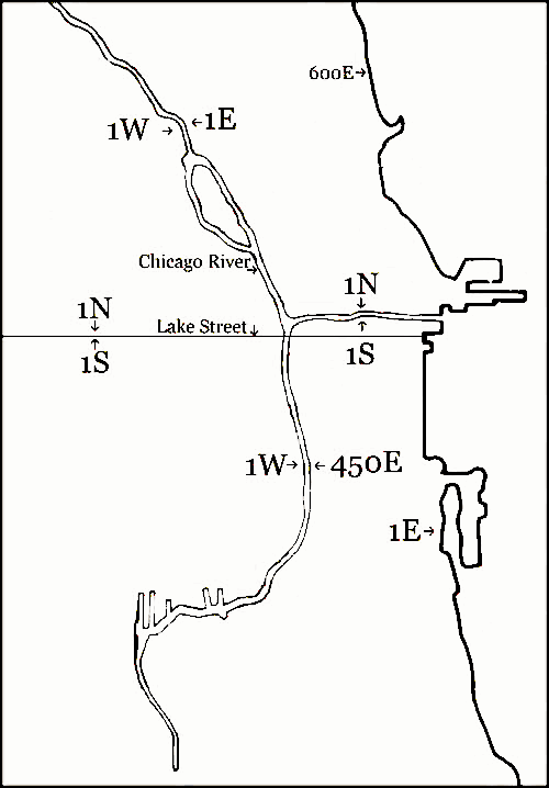 Under the old system, the Chicago River is the dividing line for north and south numbers from Lake Michigan westward until the river splits into the North Branch and the South Branch. West of where the river splits at Wolf Point, Lake Street becomes the dividing line between north and south numbers.
The dividing lines for east and west numbers are the North and South Branches of the river, neither of which run straight north-south. So, if one were to walk on a north-south street and cross the North or South Branches of the river, the numbers of all the cross streets would change. In the South Division, Lake Michigan was 1 East, and the numbers got larger heading west to the South Branch, which was at about 450 East.
The disorganized assortment of numbering systems stemmed from the grid established after the first survey in 1830. Although attempts were made in 1880 to smooth out the numbering patterns south of Roosevelt Road, the grid remained confusing and became even more so after Chicago annexed surrounding areas.
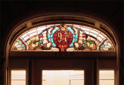
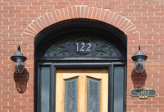
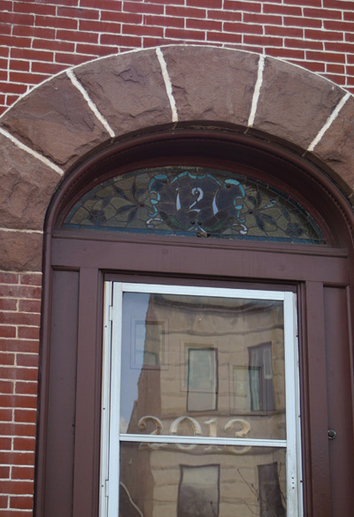
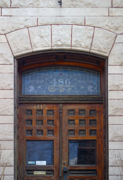
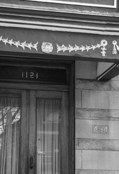
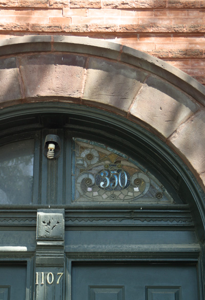
Old Addresses can be found today in one of two formats. Either the adress is set in stone, or ensconced in stained glass. The above left example adorns the entrance to Nelson Algren’s former residence, 1958 W. Evergreen in Wicker Park.
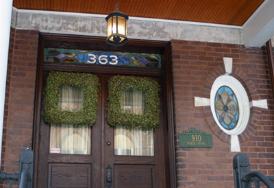
Right: Though it would fit in on the Ukrainian Glass page, we thought it fit better here. 910 N. Hoyne.
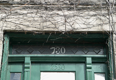
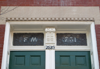
These are located across the street from each other on the 2500 block of west Augusta. The “FM” is a mystery. Perhaps the initials of a past owner?
Edward Brennan first proposed his system in 1901. After 8 years of discussion and planning, the Brennan Numbering system began to be implemented on September 1st, 1909. On this date, the entire city was converted to the new system except for the central business district (south of the main branch of the river, north of Roosevelt Road, and east of the south branch). The central business district was converted on April 1st, 1911.
The Brennan Numbering System is still in use today. State Street is the east-west dividing line and Madison Street is the north-south dividing line. All the numbers grow larger from these streets. This system also standardized 8 blocks per mile (100 numbers= 1 block, so 800 numbers= 1 mile). The only exceptions are between Madison and Roosevelt (12 blocks= 1 mile), Roosevelt and Cermak (10 = 1 mi), Cermak and 31st (9 = 1 mi), and parts of Archer Avenue which fluctuate between being north-south and east-west.
Thale, Christopher. House Numbering and Street Numbering. Encyclopedia of Chicago, 2005. (Accessed 20 Oct. 2007).
http://www.encyclopedia.chicagohistory.org/pages/3876.html
- Old Telephone Numbers
- Long Lost Loop Lanes
- The Northern Indian Boundary Line
- B&O’s Original Chicago Entry
- Lake Shore Drive Redux


