
This page consists of a small collection of maps, available for download, that our readers may find useful. These maps are a small addendum to the excellent and numerous collections of Chicago-related maps already available on the internet.
The online version of the Encyclopedia of Chicago is the best resource for historic maps of Chicago. It is comprised of maps from the collections at the Newberry Library and the Chicago History Museum.
University of Chicago Library’s online map collection specializes in maps relating to the social sciences.
Scott Newman, the man behind Jazz Age Chicago, created a number of must-see historical maps of bright-light districts such as Uptown and Woodlawn.
Chicago-L.org has an excellent collection of maps of Chicago’s rapid transit system.
1988
Published in Streewise Chicago.
Large (2.27 MB)
Medium (867 kB) Small (234 kB)1972

Published by the Automobile Association of America.
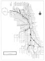
Cover (92.4 kb) Large (7.21 MB) Medium (2.9 MB) Small (1.12 MB)1960

Municipal Parking Facilities
Published by the Bureau of Parking.Large (2.33 MB)
1960
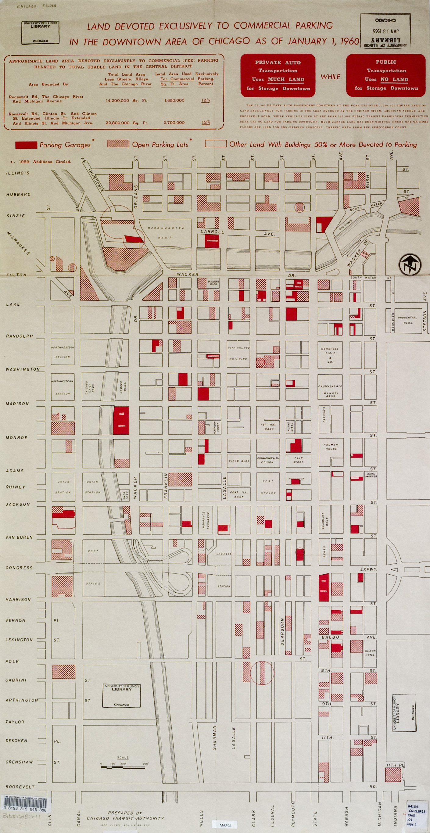
Land Devoted Exclusively To Commercial Parking
Published by the Chicago Transit Authority.Large (1.34 MB)
1938
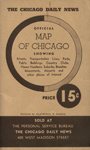
Published by the Chicago Daily News.
Cover (336 kb)
Large
Northside (Top Half) (6.1 MB)
Northside (Bottom Half) (8.2 MB)
Southside (Top Half) (7.2 MB)
Southside (Bottom Half) (7.2 MB)
Medium
Northside (Top Half) (3.6 MB)
Northside (Bottom Half) (4.7 MB)
Southside (Top Half) (4.6 MB)
Southside (Bottom Half) (4.1 MB)
Small
Northside (Top Half) (1.7 MB)
Northside (Bottom Half) (2.2 MB)
Southside (Top Half) (1.9 MB)
Southside (Bottom Half) (1.9 MB)
1910
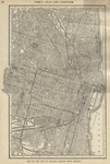
Published in the World Atlas & Gazetteer, first section only.
Large (8.85 MB)
Medium (2.45 MB)
Small (799 kB)


