Although Chicago’s once world-class transportation infrastructure has been downsized over the years, many remnants of the past still remain. Streetcars and, later, trolleybuses, once plied many streets of the city. While the last streetcar ran in 1958 and the last trolleybus in 1973, some reminders of their existence still remain. One such reminder is the terminal loop; the loop where streetcars turned around at the end of their route. Many streetcar terminal loops eventually became bus loops. Some of these are still in operation today, but others have been abandoned and mostly ignored, except by railfans.
p/>
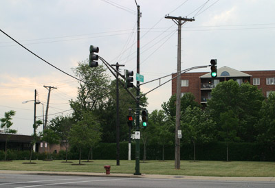
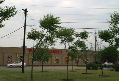
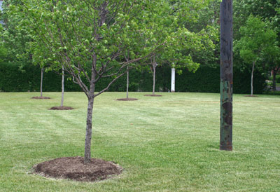
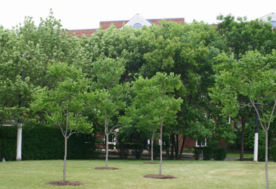
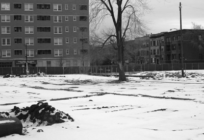
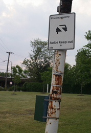 This loop at Irving Park and Neenah once served the #80 Irving Park route, and was probably abandoned in the late 1980s or 1990s, judging by the later CTA logo on the “Autos keep out” sign. The old light poles look very out of place in the middle of the grassy area that was once a paved bus loop. Though it was used for diesel buses in later years, it was first used for streetcars, and later for trolleybuses, as seen in the 1960s-era photo. Part of the former Dunning Asylum, later Chicago-Read Mental Health Center, is visible behind the loop. Now the property behind the former loop is home to an ugly suburban-style condo tower. Most of Chicago-Read has now been demolished, with just a few 1970s era buildings still in use to the west of the former loop.
Left: A light pole still holding a CTA “private property” sign. Kind of odd to see in the middle of what is now a grassy field.
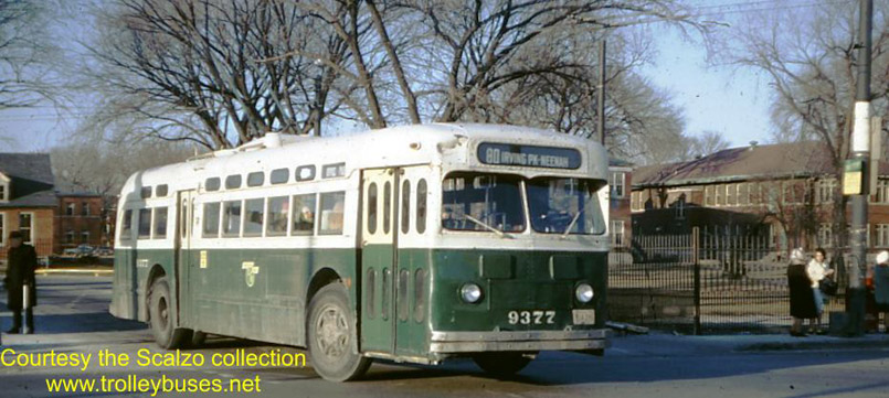 Tom’s Trolley Bus Pictures – Chicago.
This 1960s view of the Neenah loop shows a trolleybus using it, with the former Dunning Asylum buildings behind. There are more historical photographs of this loop – see here.
|
|
|
|
The former loop is now planted with trees and grass, although the trolley wire poles are still present which makes for an odd space. The condo tower to the right of the image is where part of the Dunning Asylum was once located.
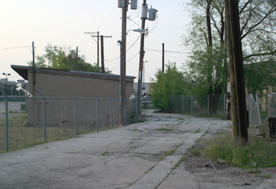
| This loop, which has been entirely demolished since we began documenting it, was once the eastern terminal of #78 Montrose streetcars and later trolleybuses. When the Montrose route was converted to diesel buses in 1973, this likely continued to be used as the eastern end of the route, though it is unclear as to when this loop was abandoned. It certainly appears to have been disused for a long time, and Montrose buses have been terminating closer to the lakefront for quite a while. It is quite amazing that the old “Look out for buses” light up signs are still hanging. If not for these, we would probably never have realized this was a former transit loop. |
|
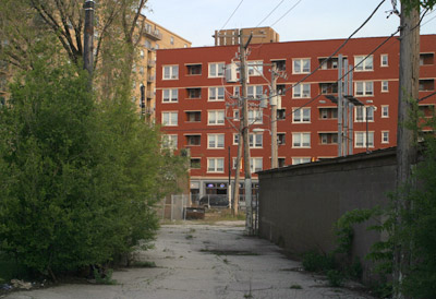
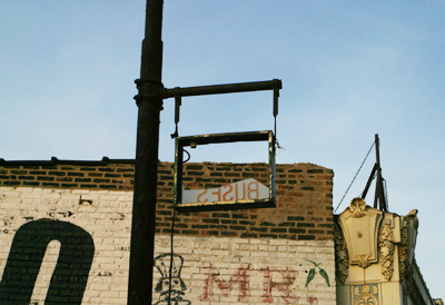

Two “Look out for buses” signs. One stands at the Montrose end, the other at the Broadway end.
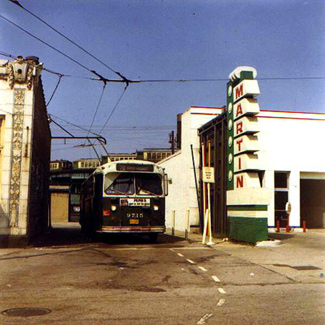
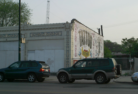
Left: Tom’s Trolley Bus Pictures
Left: Montrose turnaround, 1970. This image shows the turnaround in use. Just above the bus, 4000-series L cars can be seen on the elevated tracks of Wilson Shops. Wilson Shops burned down in 1996. For more about Wilson Shops, see here.
Right: The commercial building visible in this image was demolished late 2007, along with the roadway of the turnaround.
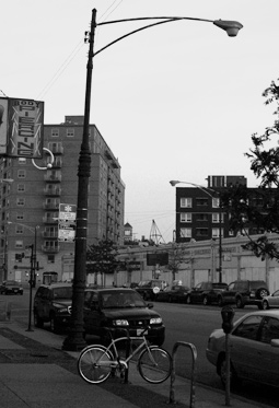
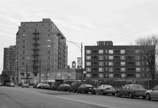
This is an interesting find. This loop was probably at one time the western terminus of the Montrose streetcar, as well as the eastern terminus of the #78A Montrose extension trolleybus, before they were combined in 1948. It is unknown when this loop was abandoned; it was likely used for short turn buses (the normal Montrose route ends at Harlem) at least until the 1980s. Note the interesting old lamp poles and CTA sign (with “Chicago Transit Authority” painted over at the bottom). One old lamp pole is simply lying on the ground; any takers? This loop may or may not still be owned by the CTA, but someone seems to be using it for their personal truck parking.
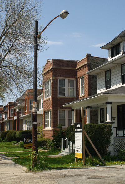
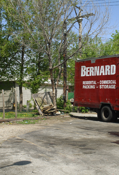
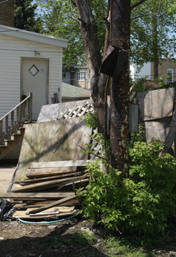
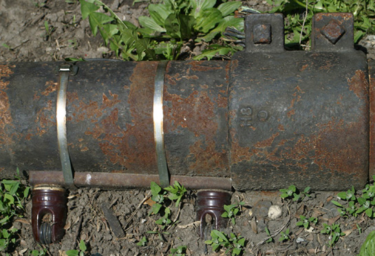
A fallen trolley wire pole, as well as some assorted debris. The image at right shows the ceramic fixtures which held trolley wire.
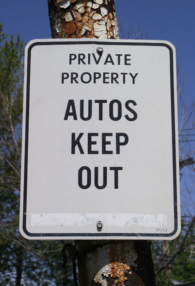
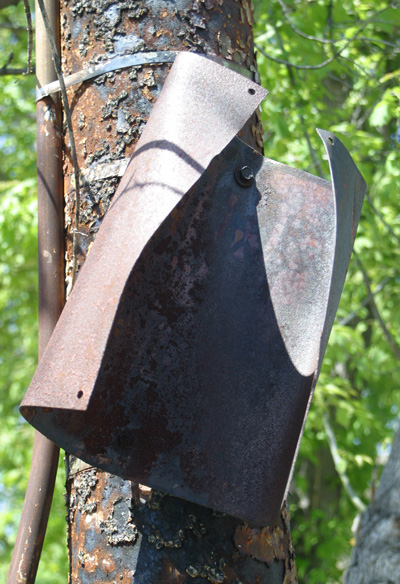
A CTA “autos keep out” sign with the CTA logo painted over, and another sign that is too rusty to read. Does the CTA no longer own this loop?
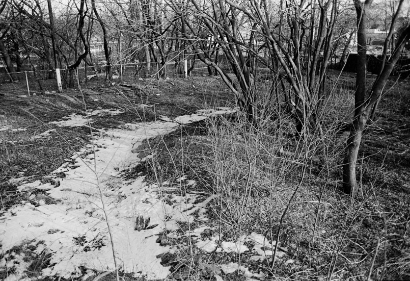
This old turnaround near Foster and Pulaski is a mystery to us. It was constructed sometime between 1951 and 1962, but CTA maps from that era don’t show it at all. Perhaps it was used for short turns on either the Foster or Pulaski bus routes. In any event, the turnaround has become quite overgrown since the 1990s, and is very difficult to spot. A few light (or possibly trolley wire) poles are the only indication of its former use.
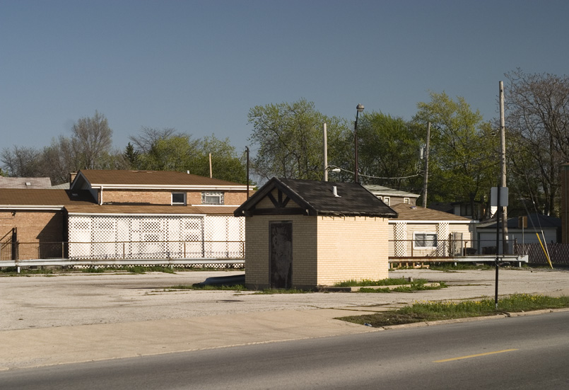
This example on King Drive and Burnside (near 93rd) was built in the late 1960s, when the King Drive route was extended south from its old terminal at 81st street. However, a 1975 route map shows the King Drive route as having been extended to the campus of the new Chicago State University. It is unclear whether this turnaround became disused then, or if it continued to be used for short turns. The relatively good condition of the turnaround suggests that it was in use until relatively recently. The drivers’ bathroom building remains, and is still in decent shape.
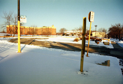
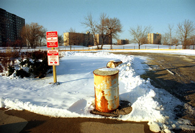
Another example from the 1960s, located on Pratt near Kedzie, was built for the 96 Lunt route. Prior to terminating here, the Lunt route was combined with Touhy, and it simply looped back to East Rogers Park on that street. Perhaps this new terminal coincided with the building of the Winston Towers, a large high-rise housing development just north of the turnaround. A Dominick’s store was also formerly located across the street.
The Lunt route was later extended to Peterson and Lincoln, and then cut back to Devon and Kedzie, but it still looped through this Pratt/Kedzie turnaround without terminating there (probably to serve the Dominick’s and Winston Towers). The Dominick’s closed several years ago and moved to a site near the Lincolnwood Town Center mall, which may explain why the Lunt route was shifted to serve that mall shortly thereafter. This turnaround was then abandoned, and it has remained largely unchanged since. The CTA’s signage is still present, including a bus stop sign for the Lunt route which, of course, doesn’t stop there anymore.
- Chaddick Institute Terminal Town Walking Tour on Sunday, October 27, 2019
- B&O’s Original Chicago Entry
- The Northern Indian Boundary Line
- Remnants of the “L”
- Old Telephone Numbers


